
Apple Maps
Apple Maps offers turn‑by‑turn navigation, location search, and transit directions on Apple devices.
Apple Maps provides turn‑by‑turn navigation for driving, transit, walking, and cycling, integrating real‑time traffic, speed limits, and lane information to help users follow routes accurately. For drivers, it offers estimated arrival times based on current conditions, 3D road‑level views at complex intersections, and electric‑vehicle routing that considers charge level, elevation, and charging stations.
Transit users can view live arrival and departure times, service outages, and the locations of buses and trains, with alerts when approaching a stop and the ability to pin favorite lines for quick access. Walking navigation includes augmented‑reality guidance and Indoor Maps that detail airports, shopping centers, and other large venues, showing nearby amenities and floor locations.
Cyclists receive directions with elevation profiles, warnings about steep climbs, and alternative routes that avoid obstacles such as stairs. The service syncs across Apple devices, allowing a seamless experience when switching between iPhone, iPad, and Mac.
Reviews
Loading reviews…
Similar apps
Network & Connectivity
Google Maps
Web-based mapping service offering directions, traffic, and location search.
HR & Business Ops
Bing Maps
Online map service offering routing, traffic, and aerial imagery.

DevOps & Infrastructure
Magic Lane
Sovereign navigation infrastructure for Europe

Window & Desktop Management
Memory-Map
GPS navigation software
Network & Connectivity
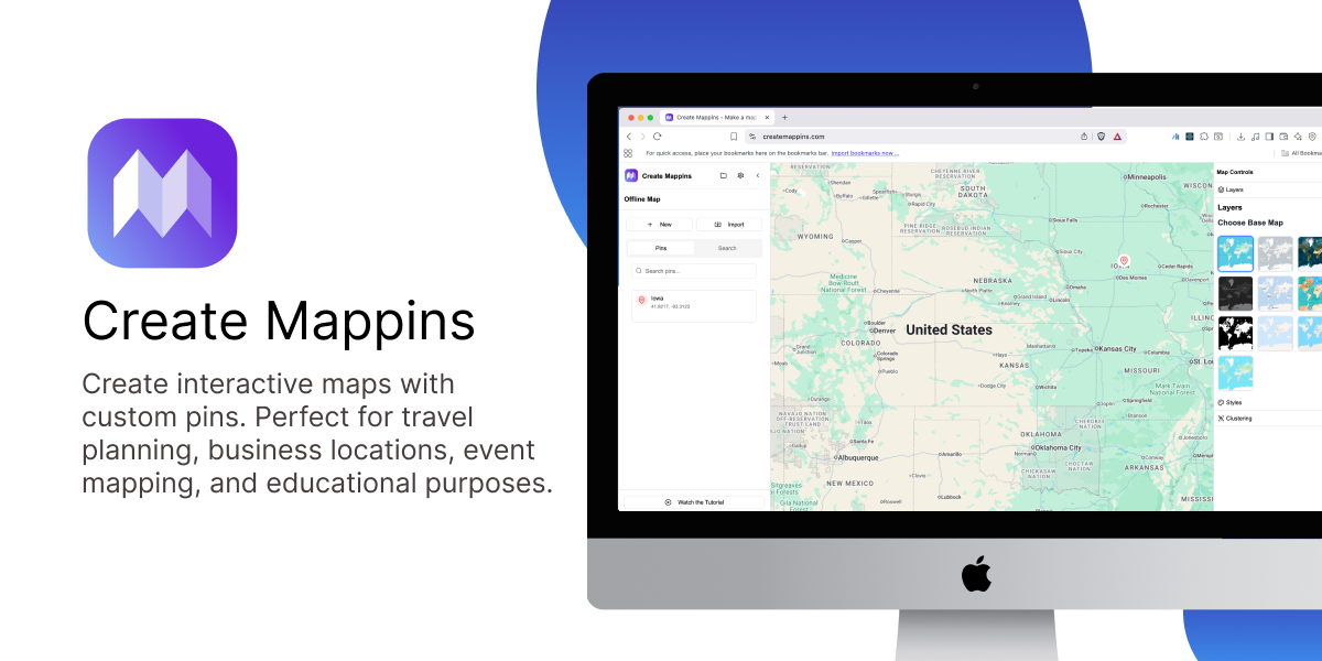
Create Mappins
Create custom map pins and embed anywhere

Travel & Trip Planning
Skylog
GPS journey tracker that works offline, even on flights