GeoTag
Geo location editor for images
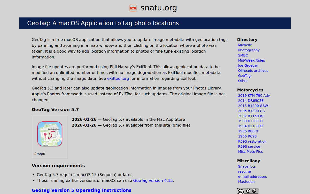
GeoTag is a macOS‑only utility that lets users add or adjust geographic metadata in image files. The interface presents a map where users can pan and zoom, then click a point to assign that location to a selected photo. Changes are written using Phil Harvey’s ExifTool, which updates metadata without altering the image data, allowing unlimited edits without quality loss.
The application also supports images stored in Apple’s Photos library; for these, it uses the Photos framework to modify location tags while leaving the original files untouched. It can handle a range of image formats, though some raw types may be recognized only as lacking readable metadata. The UI highlights images with missing or unreadable metadata, and a search shortcut focuses the map search field.
GeoTag runs on macOS 15 (Sequoia) or later and is distributed as a free download and via the Mac App Store, with builds for both Intel and Apple Silicon hardware. The current stable release is version 5.7, which includes bug fixes for raw‑jpg pairing and UI behavior.
Reviews
Loading reviews…
Similar apps
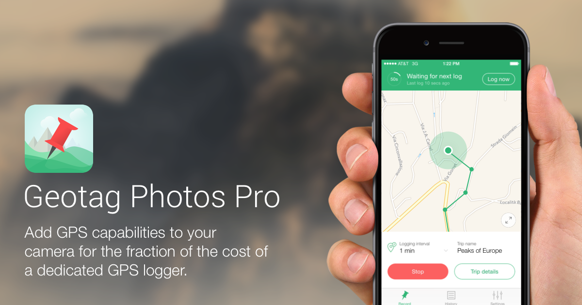
Photo & Video Management
Geotag Photos Pro
Geotagging software

Metadata & Library Management
TuneTag
ID3 and metadata editor for audio files
Metadata & Library Management
Tag
Music tag editor
File Management & Transfer
MetaZ
Mp4 meta-data editor
Travel & Trip Planning
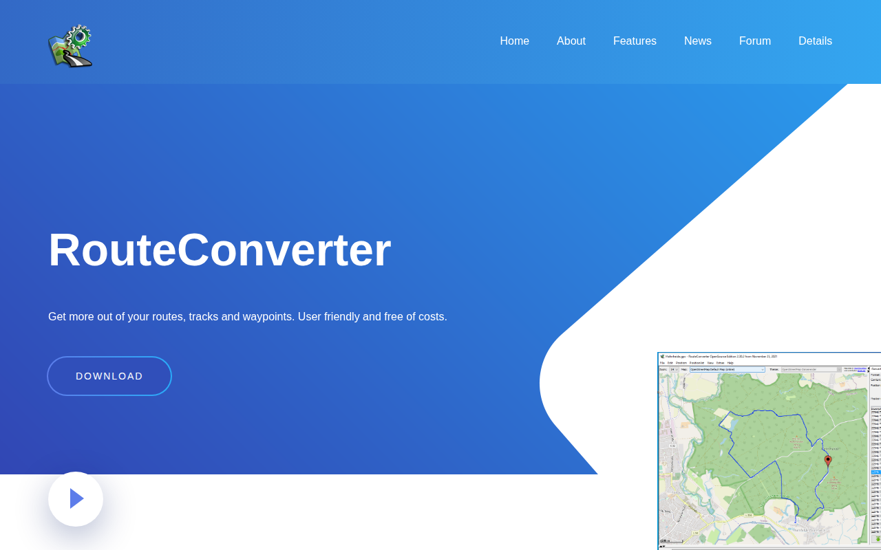
RouteConverter
GPS tool to display, edit, enrich and convert routes, tracks and waypoints
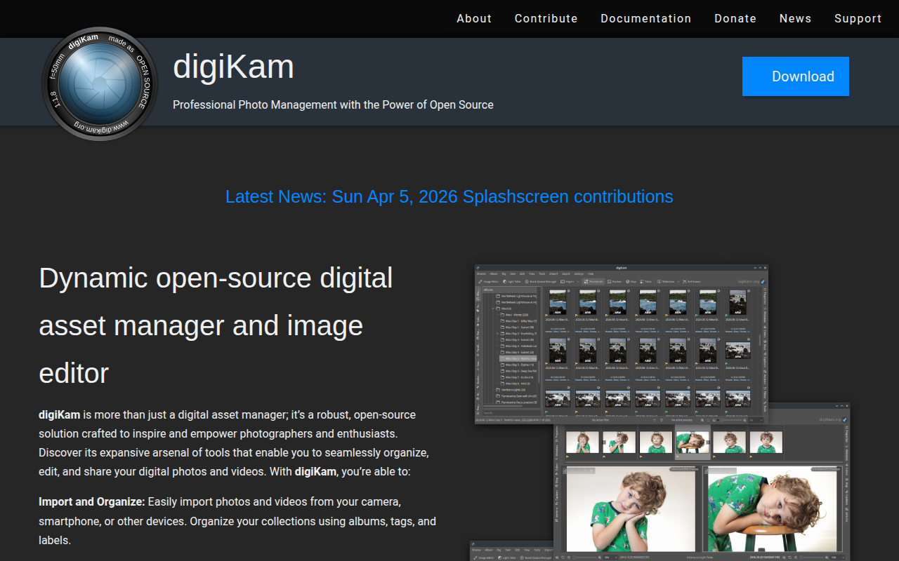
Photo & Video Management
digiKam
Digital photo manager