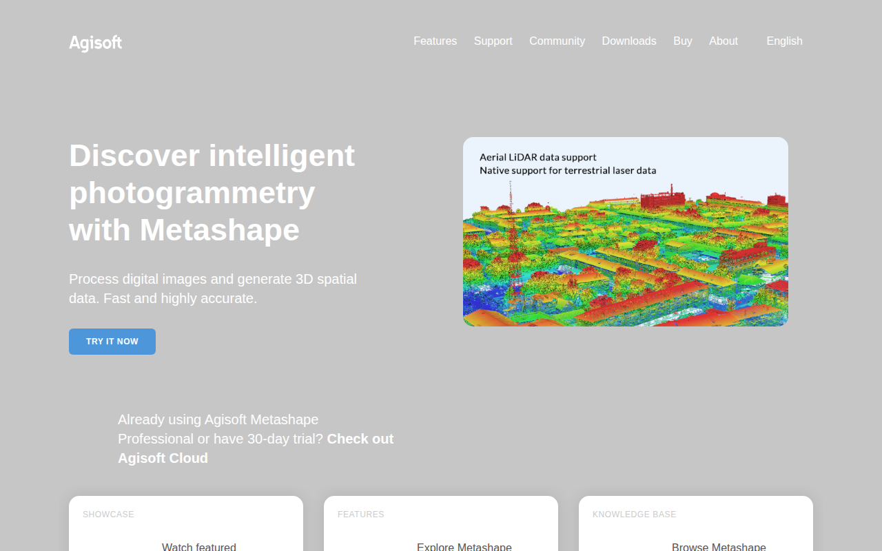
Agisoft Metashape Standard Edition
Process digital images and generate 3D spatial data
The software performs photogrammetric processing of digital photographs to create three‑dimensional spatial data. It aligns overlapping images, reconstructs dense point clouds, builds mesh models, and generates textured 3D assets that can be exported for use in geographic information systems, cultural‑heritage documentation, visual‑effects pipelines, and other measurement‑focused workflows.
Target users include GIS analysts, heritage conservators, visual‑effects artists, and engineers who need accurate 3‑D representations derived from photographs of objects or sites at various scales. The tool runs as a stand‑alone application on macOS and provides a complete workflow from image import through to export of georeferenced models and measurement data.
What distinguishes it is an integrated suite of photogrammetry functions—image alignment, dense reconstruction, mesh generation, texturing, and measurement tools—available within a single package, and optional cloud‑based services for site inspection and annotation that complement the desktop processing.
Reviews
Loading reviews…
Similar apps
Photo & Video Management
CloudCompare
3D point cloud and mesh processing software
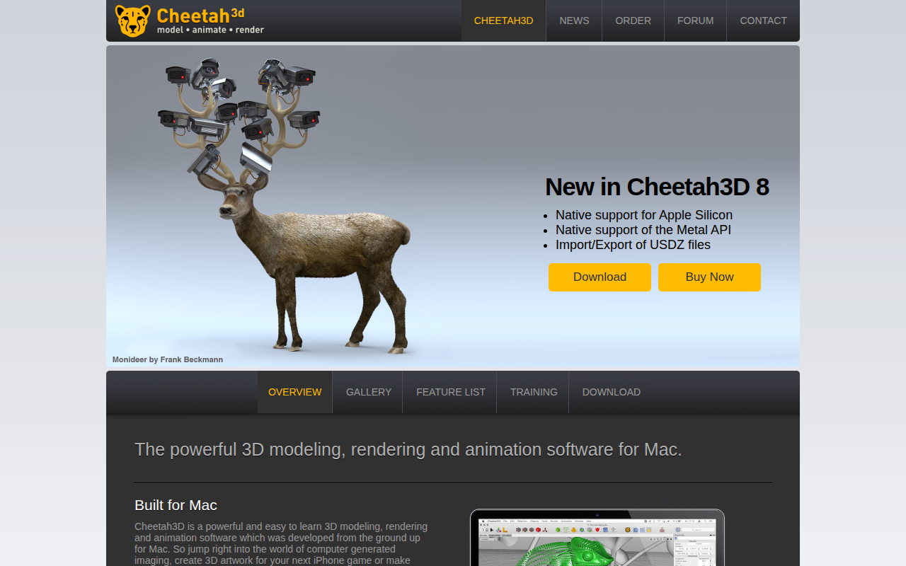
Photo & Video Management
Cheetah3D
3D modelling, rendering and animation software

Photo & Video Management
Garmin BaseCamp
3D mapping application

Photo & Video Management
Quixel Bridge
3D asset manager
File Management & Transfer
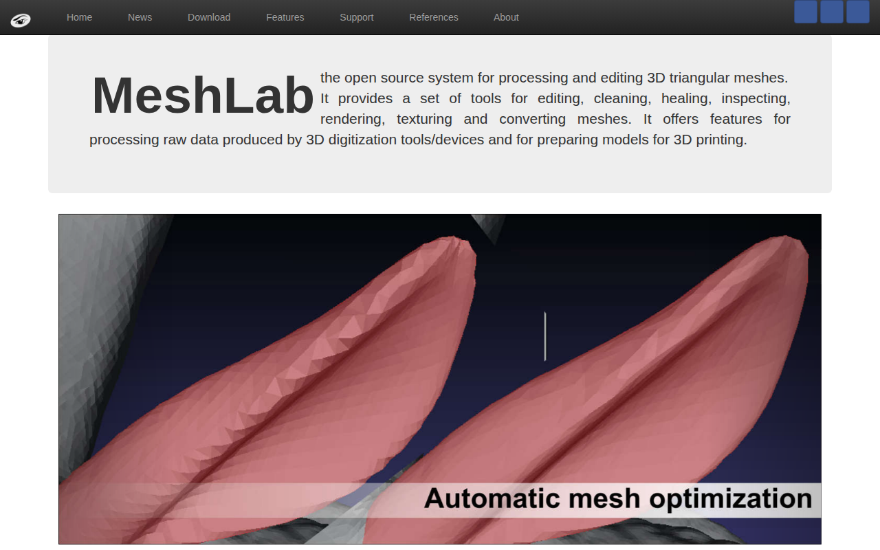
MeshLab
Mesh processing system
Photo & Video Management
Dust3D
Open-source 3D modelling software