
PangeAI
Instant, agent-driven spatial analysis and decision-making
PangeAI provides a web‑based service that converts natural‑language questions into geospatial analyses and visualizations without requiring any geographic‑information‑system expertise. Users type queries such as “What is the flood risk for this region?” and the platform’s autonomous agents automatically select appropriate methods, ingest relevant internal and external datasets, and return maps or simulation results within minutes.
The system is aimed at professionals in sectors like energy, natural‑capital management, and insurance who need to incorporate land, risk, and environmental context into decision‑making but lack specialized GIS skills. By handling data acquisition, method selection, and output generation, it reduces the time and cost typically associated with manual geospatial workflows.
What distinguishes PangeAI is its agent‑driven automation that interprets free‑form language, pulls curated Earth data, and delivers instant spatial intelligence, positioning geospatial analysis as an accessible tool for a broader range of users.
Reviews
Loading reviews…
Similar apps

AI Coding Agents
Anamap
Finally, an AI that actually understands your analytics.
Clipboard, Input & Automation
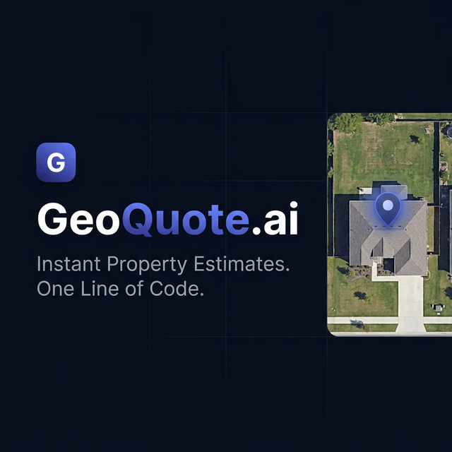
GeoQuote.ai
Satellite roof estimates + AI booking on your website

Network & Connectivity
RankAI
RankAI autonomously gets you buyers from Google & AI Search

AI Agents & Automation
Hapax
Watches your workflows. Builds your Agents. Automatically.

AI Coding Agents
LangChain
Open-source framework for building applications powered by language models.

Window & Desktop Management
Keygent AI
Manage AI agents without babysitting every action