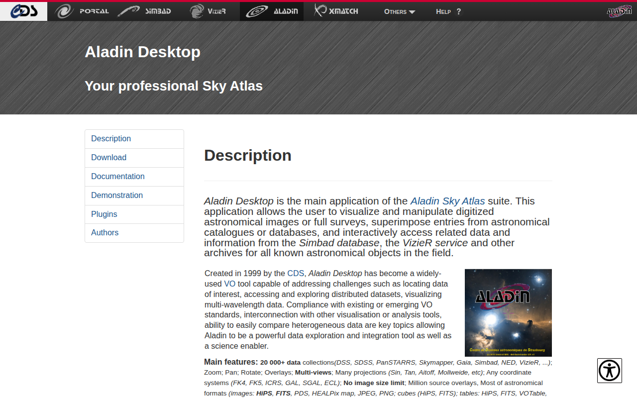
Aladin Desktop
Interactive sky atlas
Aladin Desktop is a Java‑based application for visualizing and manipulating digitized astronomical images and surveys. It lets users overlay entries from catalogues and databases, and retrieve related information from services such as Simbad and VizieR for any object in the field. The tool supports a wide range of data collections—including DSS, SDSS, PanSTARRS, Gaia, and many others—along with numerous image, cube, and table formats, and it can handle unlimited image sizes and millions of source overlays.
The interface provides interactive navigation (zoom, pan, rotate) and supports multiple projections and coordinate systems (FK4, FK5, ICRS, GAL, etc.). Users can apply colour maps, contours, cropping, mosaicking, photometric measurements, and catalog operations such as filtering, merging, cross‑matching, and scatter plotting. Compliance with Virtual Observatory standards (e.g., JSAMP, TAP, SSA) enables interoperation with other analysis tools.
Aladin Desktop runs on macOS, Windows, and Linux and can be launched with a bundled Java runtime or any standard Java distribution. It is extensible through plugins and a VOApp interface, fully scriptable, and available in multiple languages, making it a versatile environment for multi‑wavelength data exploration and scientific research.
Reviews
Loading reviews…
Similar apps
Documents, Forms & Contracts
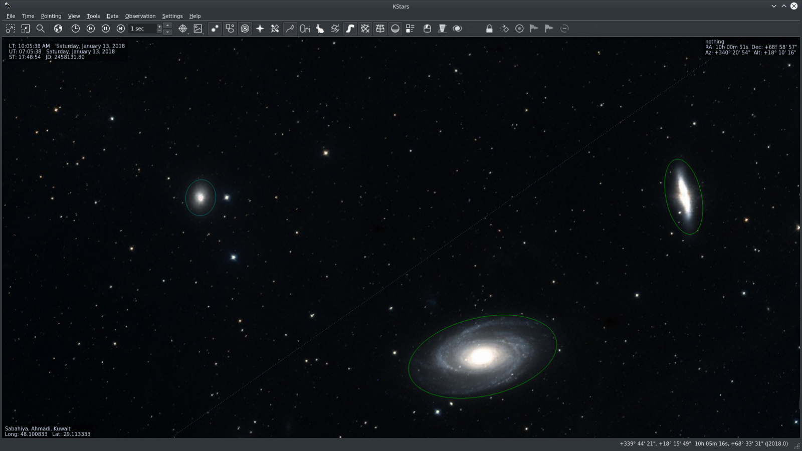
KStars
Astronomy software
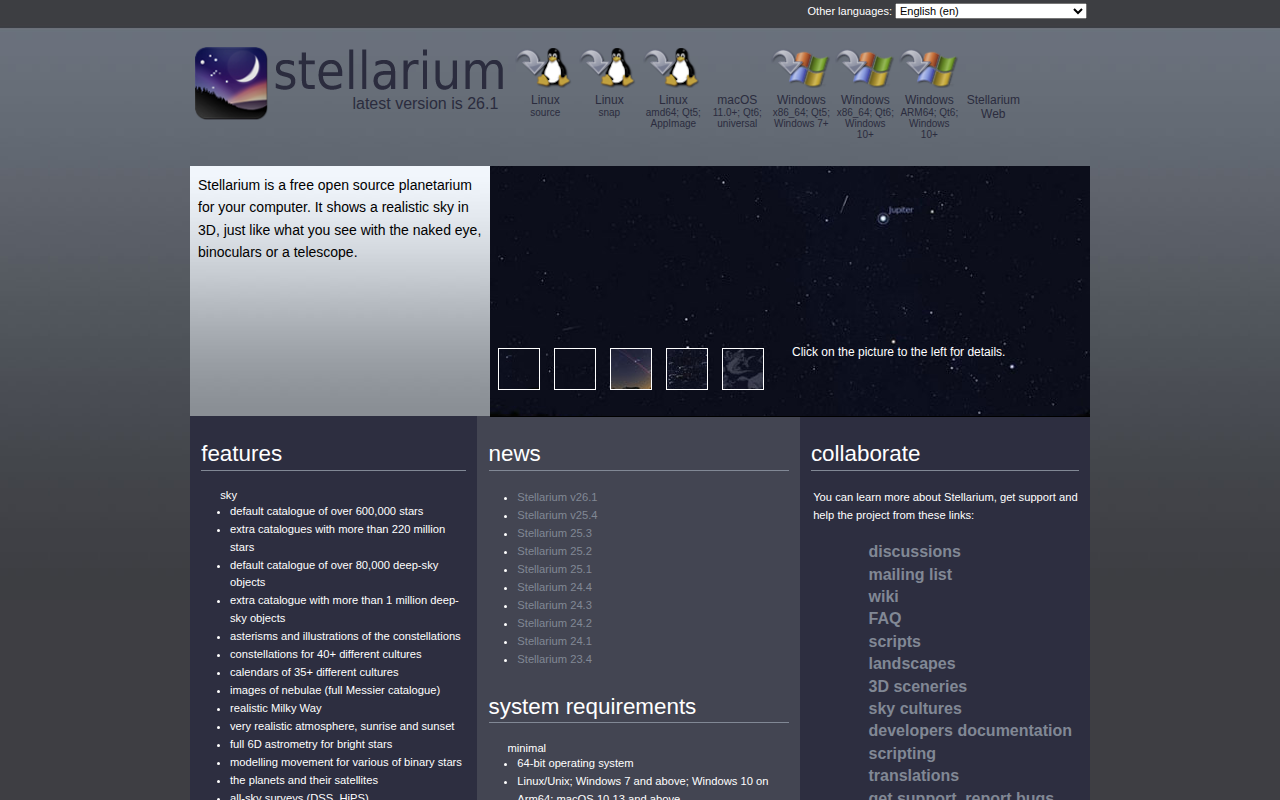
Photo & Video Management
Stellarium
Tool to render realistic skies in real time on the screen
System Monitoring & Maintenance
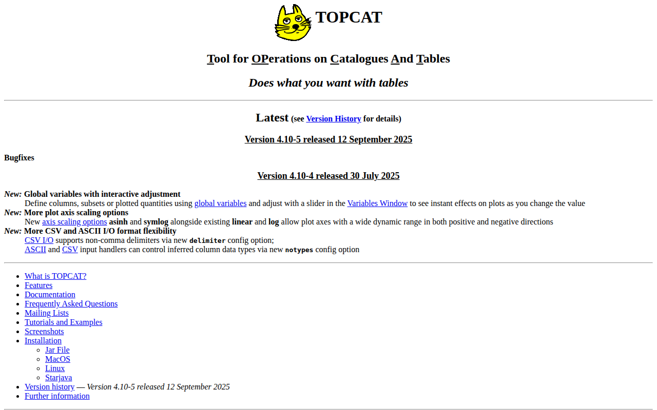
TOPCAT
Interactive graphical viewer and editor for tabular data
Documents, Forms & Contracts
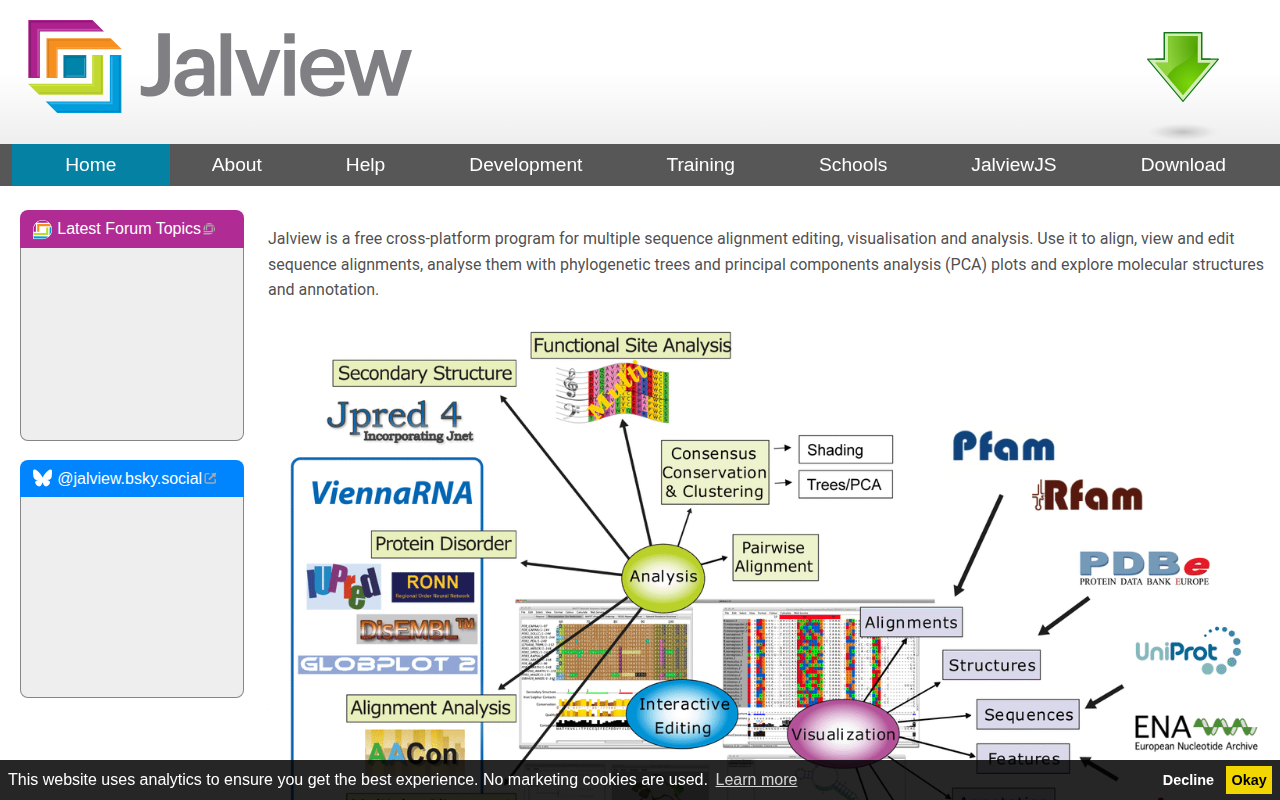
Jalview
Multiple sequence alignment editor, visualiser, analysis and figure generator
Weather & Outdoors
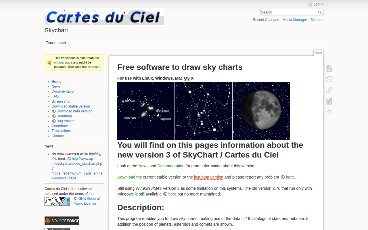
SkyChart
Draw sky charts
Task & Project Management
QLFits
Quick Look plugin to view FITS files