GPXSee
GPS log file viewer and analyzer
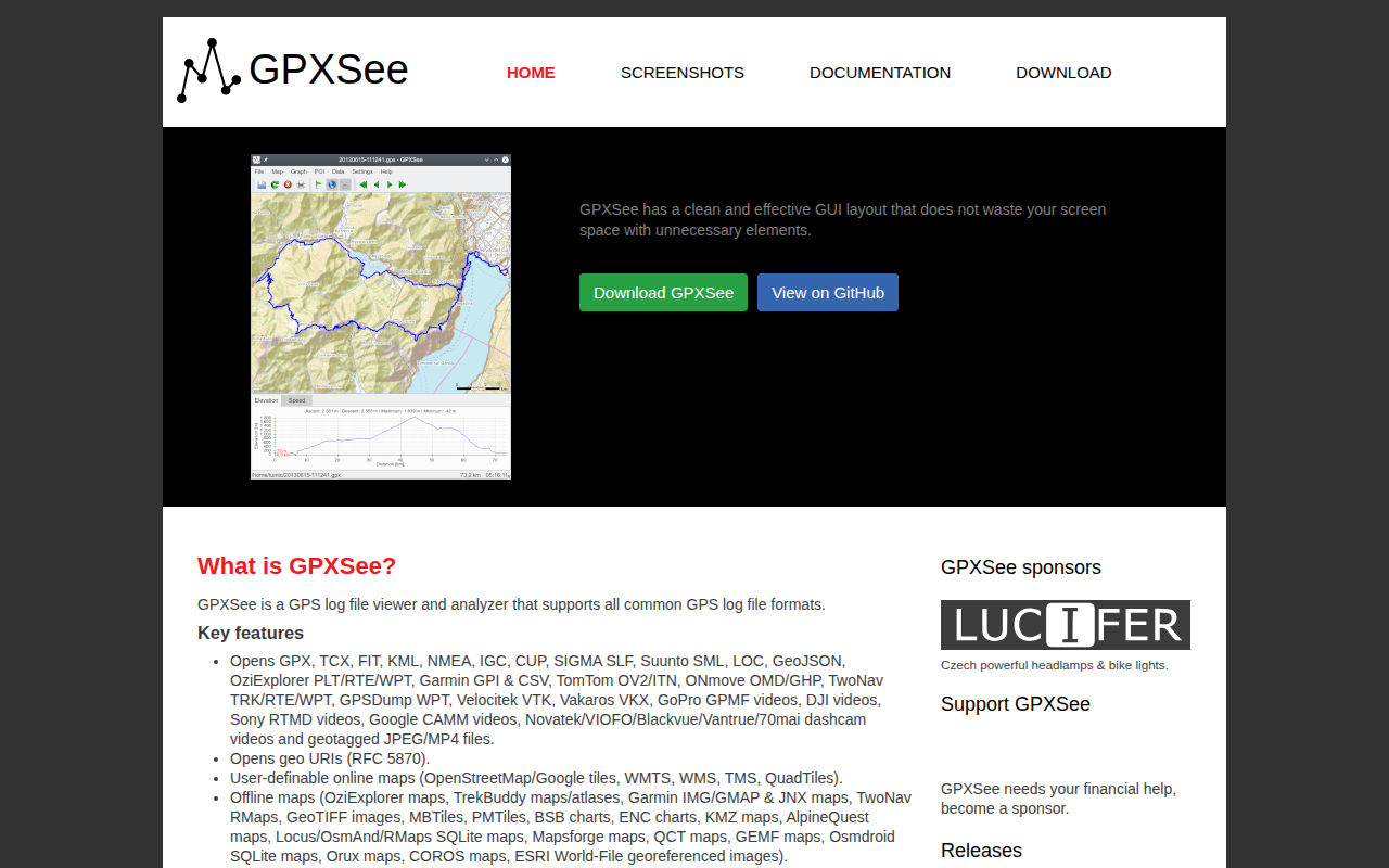
GPXSee is a desktop and mobile application for viewing and analyzing GPS log files. It reads a wide range of formats, including GPX, TCX, FIT, KML, NMEA, IGC, and many proprietary or open‑source map and waypoint types, allowing users to inspect tracks, waypoints, and associated sensor data such as speed, heart rate, cadence, power, temperature, and gear shifts. The program can display elevation profiles and supports DEM files for terrain visualization.
The interface presents maps from online sources (e.g., OpenStreetMap, Google tiles, WMTS, WMS) and a variety of offline map formats, including Garmin IMG, GeoTIFF, MBTiles, and ESRI georeferenced images. Users can overlay multiple tracks, view real‑time GPS positions, and export screenshots or PDFs. The UI is designed to be compact, HiDPI‑aware, and suitable for full‑screen use on desktop and Android platforms.
Targeted at hikers, cyclists, drivers, and anyone who records GPS data, GPXSee offers a lightweight, dependency‑free viewer that focuses on quick inspection rather than full GIS capabilities. It is released under the GPLv3 license and is available for Windows, macOS, Linux, and Android.
Reviews
Loading reviews…
Similar apps
Travel & Trip Planning
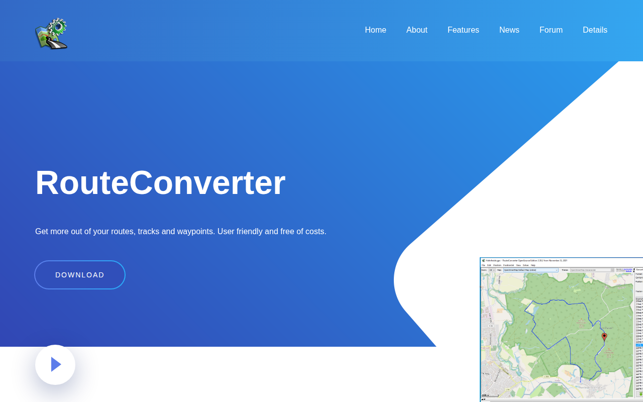
RouteConverter
GPS tool to display, edit, enrich and convert routes, tracks and waypoints
Video Editing
Dashcam Viewer
View videos, GPS data, and G-force data recorded by dashcams and action cams
System Monitoring & Maintenance
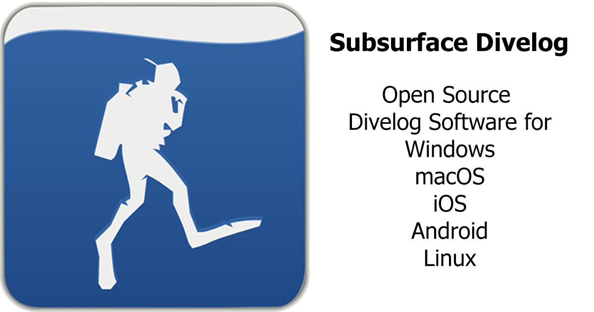
Subsurface
Open source divelog program
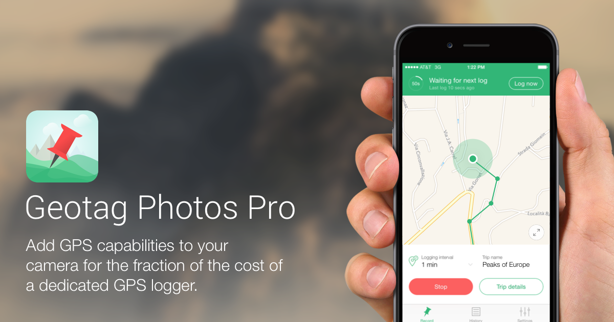
Photo & Video Management
Geotag Photos Pro
Geotagging software
File Management & Transfer
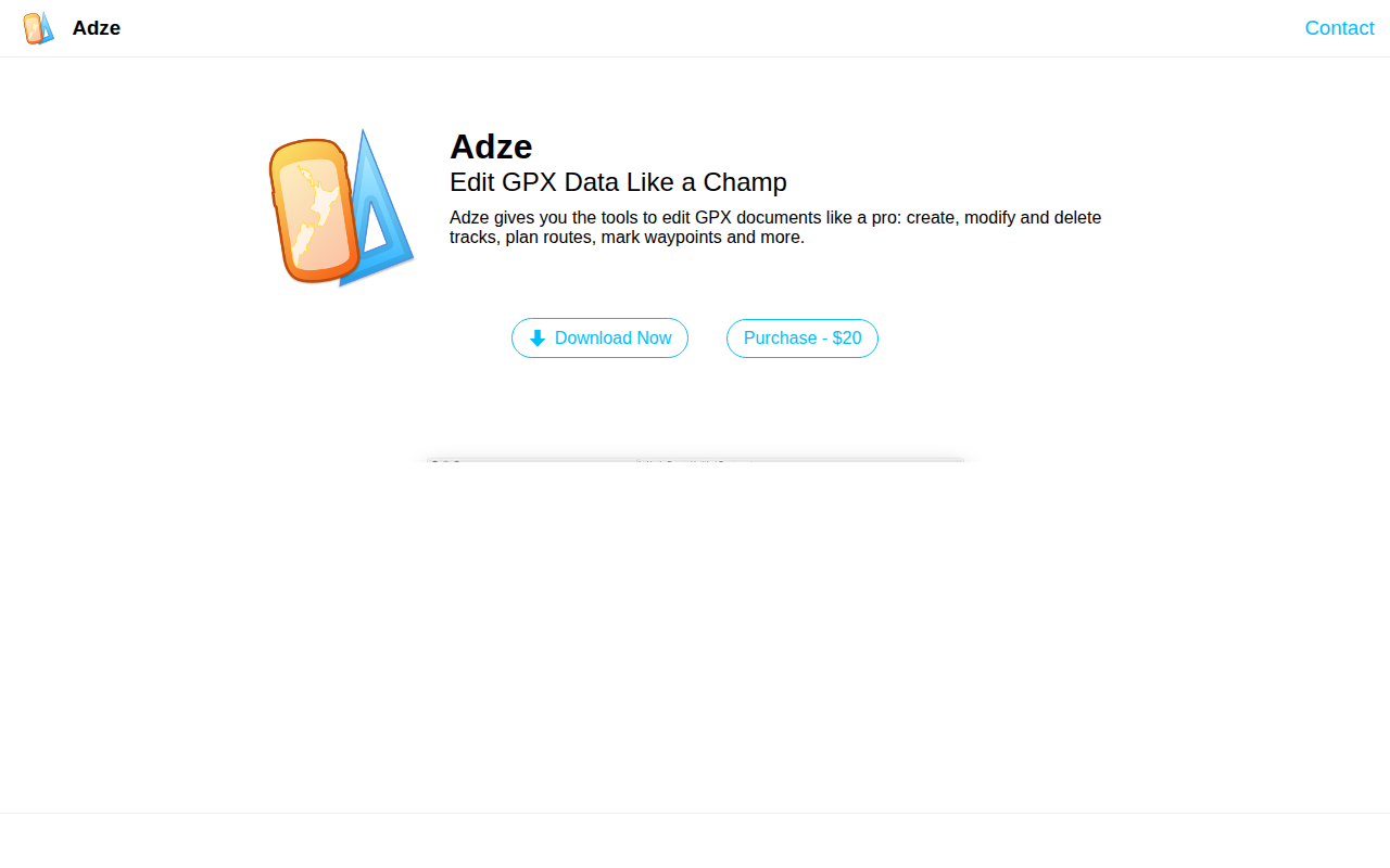
Adze
Edit GPX documents
Travel & Trip Planning
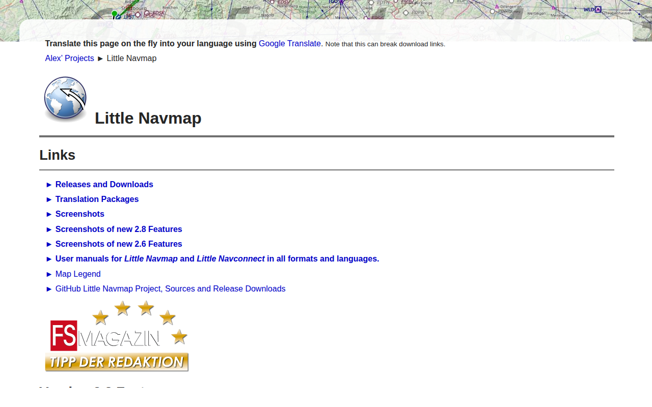
Little Navmap
Flight planning and navigation and airport search and information system