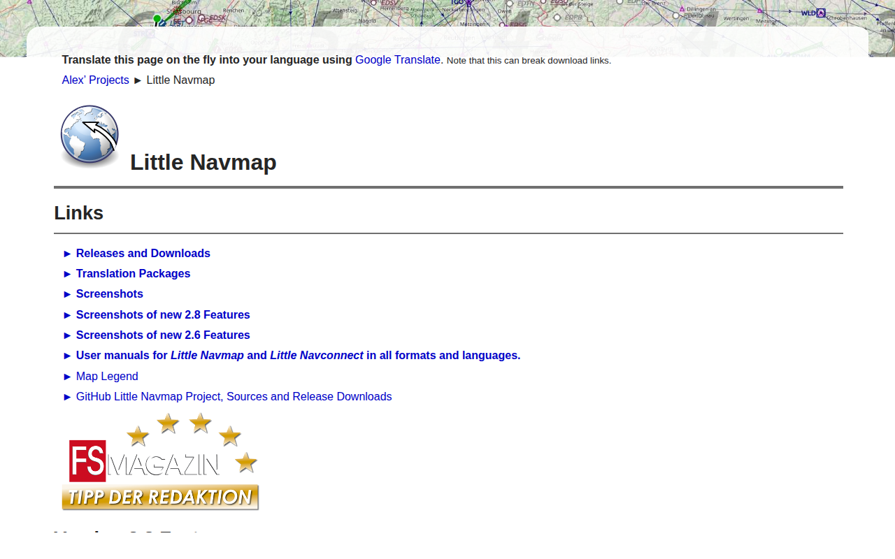
Little Navmap
Flight planning and navigation and airport search and information system
Little Navmap is a free, open‑source application that combines flight planning, navigation, moving‑map display, and airport search with detailed airport information. It reads data directly from the stock or add‑on files of supported simulators, loading all airports in minutes, and can import navigation data from Navigraph or OpenAir airspace files. The map visualises VFR‑style symbols, user and AI aircraft, ships, navaids, waypoints, airways, airspaces, procedures, weather symbols and minimum off‑route altitude grids, with tooltips and information windows for each object.
The tool works on Windows, macOS (High Sierra 10.13 or later) and 64‑bit Linux, and supports a wide range of simulators including all FSX variants, Flight Simulator Steam Edition, Prepar3D v4‑v6, Microsoft Flight Simulator 2020/2024, and X‑Plane 11‑12. Users can load, save, merge and exchange flight plans in the common PLN format, as well as X‑Plane FMS, FSC and FLP files, and can send plans to SimBrief.
Distinctive features include multiple offline and online map themes (e.g., OpenStreetMap, OpenTopoMap), two map projections, hill‑shading and sun‑shadow rendering, and quick mouse modifiers for measurements or range rings. Navigation data updates are available via Navigraph, and the program supports
Reviews
Loading reviews…
Similar apps

Task & Project Management
Navigraph Charts
Access professional and updated Jeppesen charts for flight simulation
Travel & Trip Planning
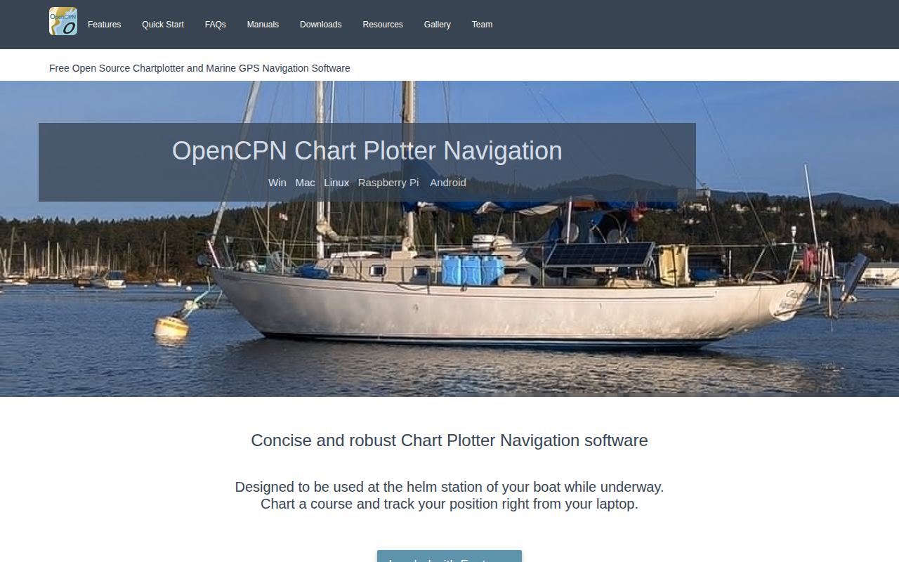
OpenCPN
Full-featured and concise ChartPlotter/Navigator

Travel & Trip Planning
Volanta
Personal flight tracker

Travel & Trip Planning
RouteConverter
GPS tool to display, edit, enrich and convert routes, tracks and waypoints
System Monitoring & Maintenance
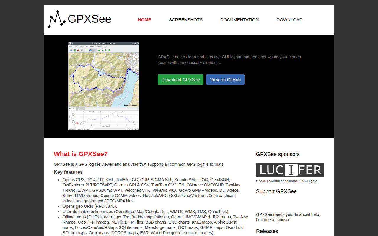
GPXSee
GPS log file viewer and analyzer
Travel & Trip Planning
AirTrail
Personal flight tracking system.