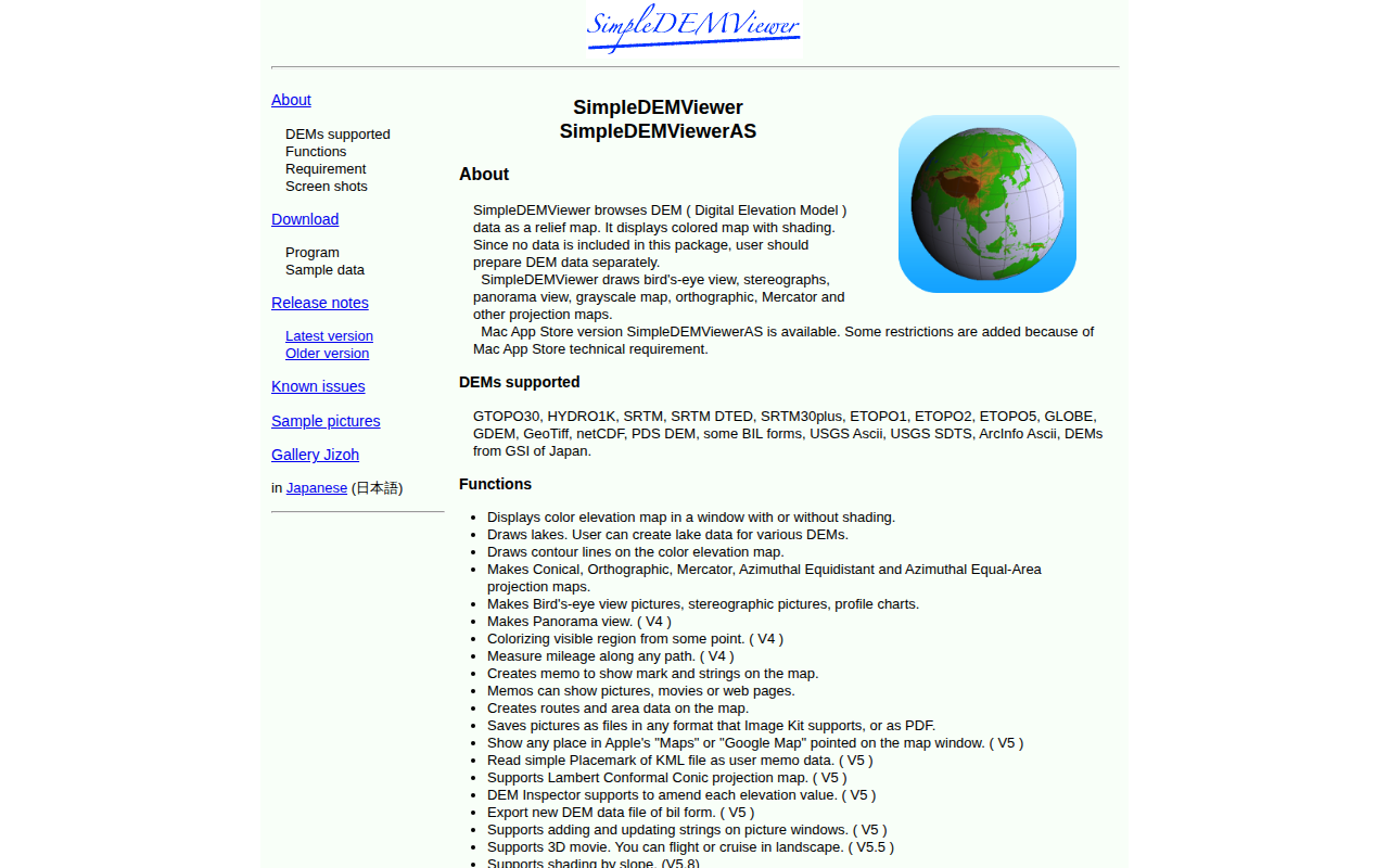
SimpleDEMViewer
Digital Elevation Model viewer
SimpleDEMViewer is a macOS application for visualizing Digital Elevation Model (DEM) data as relief maps. It reads a wide range of DEM formats, including GTOPO30, SRTM variants, ETOPO series, GeoTiff, netCDF, and several USGS and Japanese GSI formats, allowing users to load their own elevation datasets and view them with color shading, grayscale, or lake rendering.
The program offers multiple map projections such as conical, orthographic, Mercator, azimuthal equidistant, and azimuthal equal‑area, as well as bird’s‑eye, stereographic, panorama, and profile views. Additional tools include contour line generation, mileage measurement, memo annotations with text or media, route and area creation, and the ability to export images in any Image Kit‑supported format or PDF. Integration with Apple Maps and Google Maps provides geographic context, while later versions add features like KML placemark import, DEM value editing, 3D flight visualizations, slope shading, and GeoTiff export.
Targeted at professionals and hobbyists who need to explore and analyze terrain data, SimpleDEMViewer combines basic DEM inspection with a suite of projection and annotation utilities, all within a stable macOS‑only release.
Reviews
Loading reviews…
Similar apps
Databases & Data Tools
GeoMapApp
Browse, visualise and analyze geoscience data sets
System Monitoring & Maintenance
GPXSee
GPS log file viewer and analyzer
Travel & Trip Planning
Little Navmap
Flight planning and navigation and airport search and information system
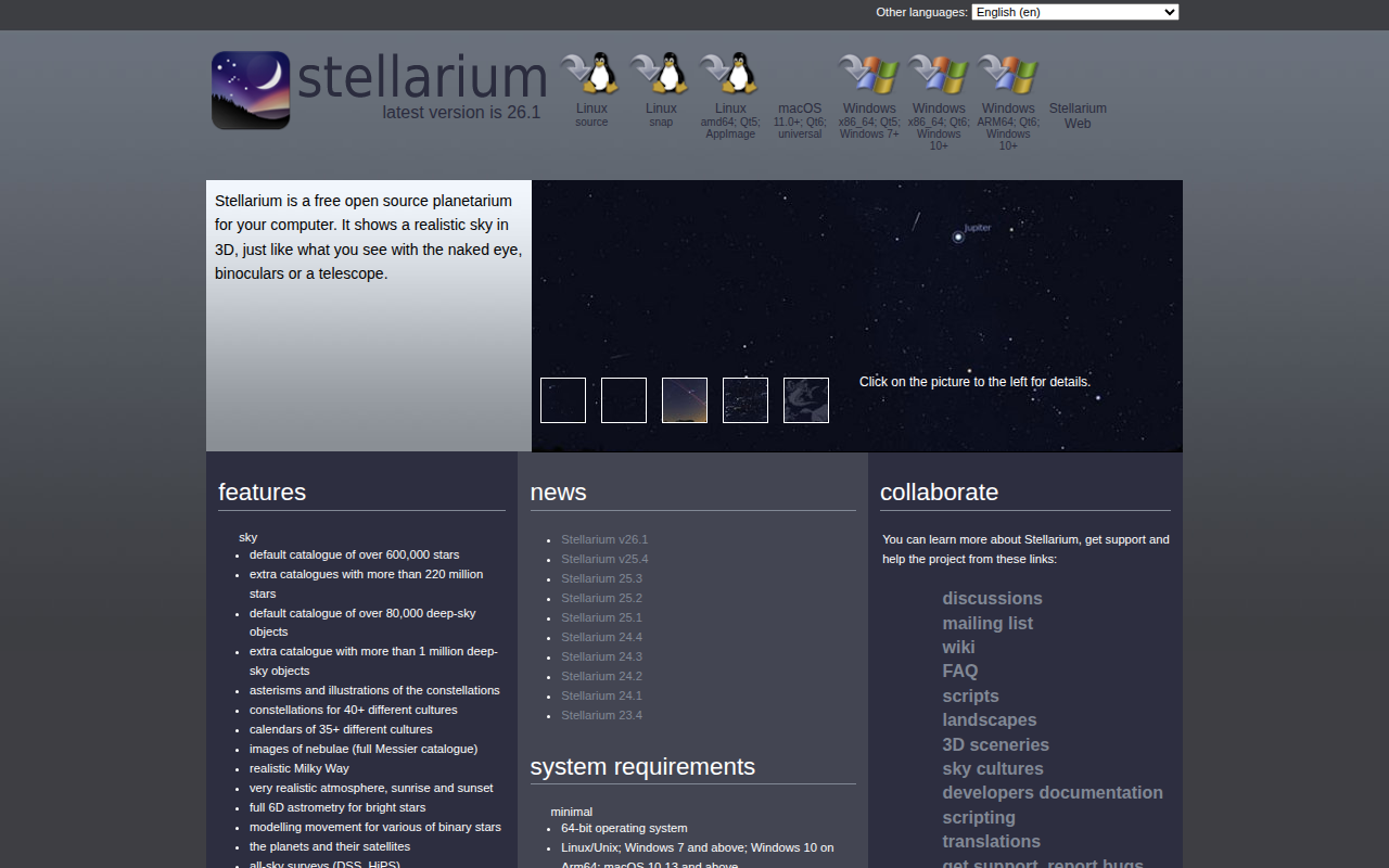
Photo & Video Management
Stellarium
Tool to render realistic skies in real time on the screen
Databases & Data Tools
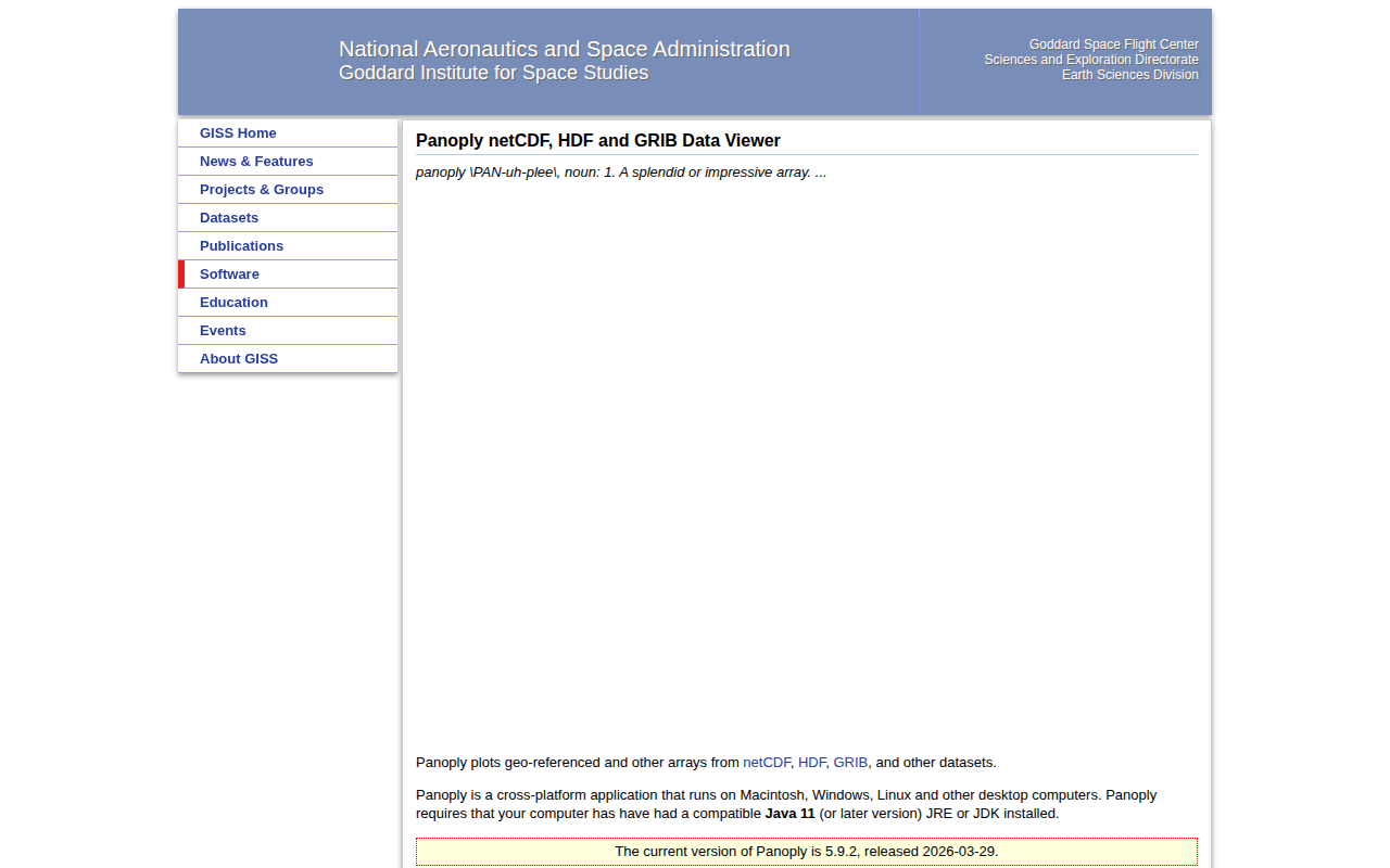
Panoply netCDF, HDF and GRIB Data Viewer
Plot geo-referenced data from netCDF, HDF, and GRIB
Game Engines & Dev Tools
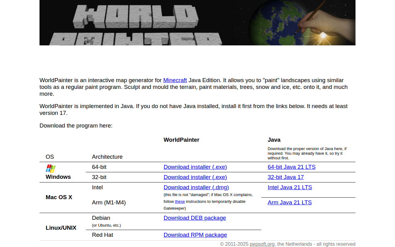
WorldPainter
Interactive map generator for Minecraft